
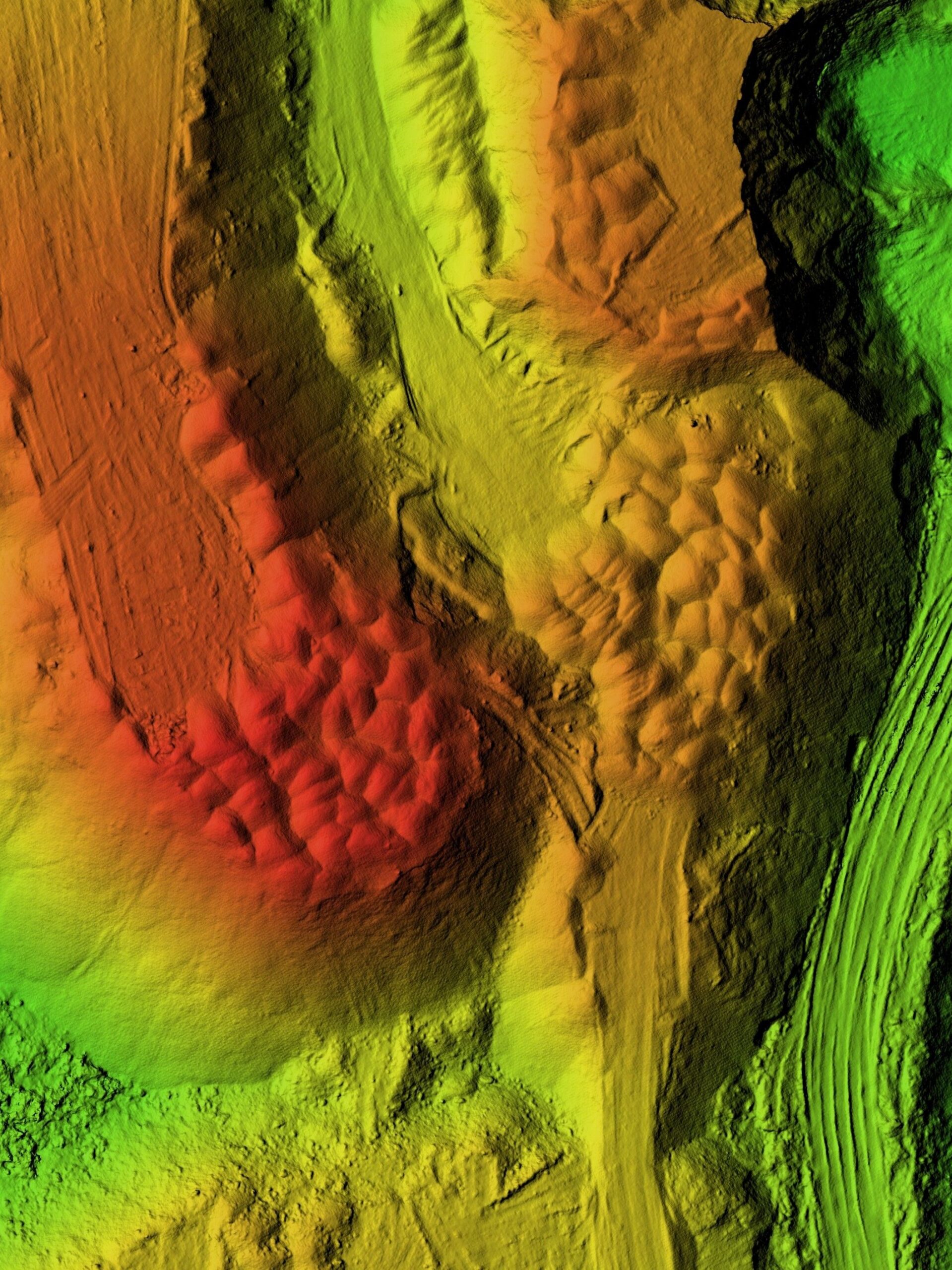
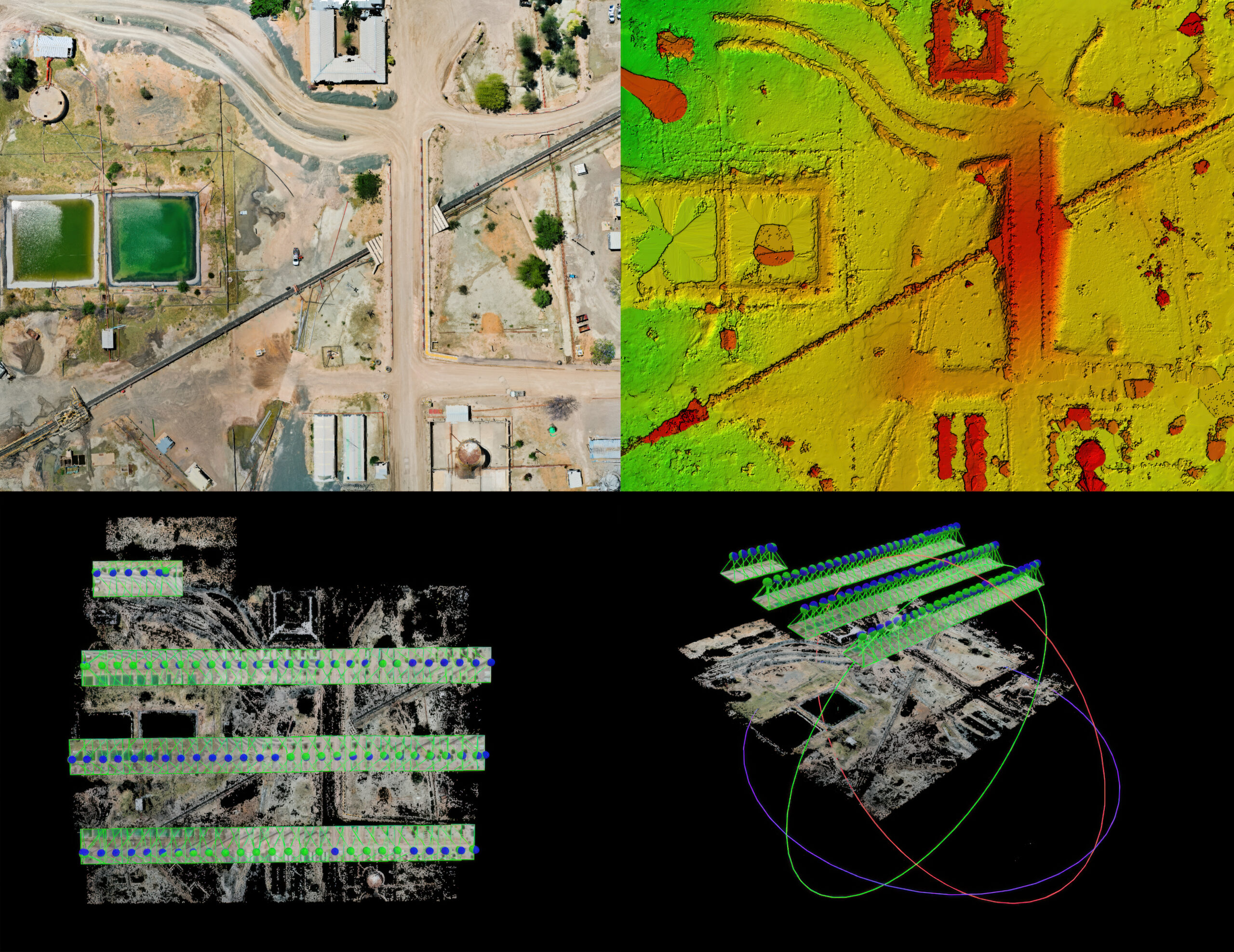
LiDAR Data Acquisition
Our LiDAR services provide precise 3D data for detailed terrain mapping, vegetation analysis, and infrastructure inspection, enhancing environmental and construction projects.

Precision 3D Modeling
We create accurate and detailed 3D models of buildings, landscapes, and infrastructure, perfect for architectural visualization, historical preservation, and urban planning.
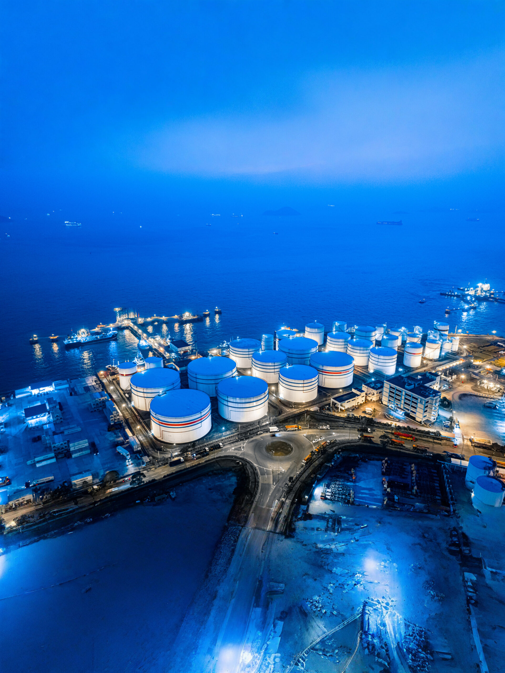
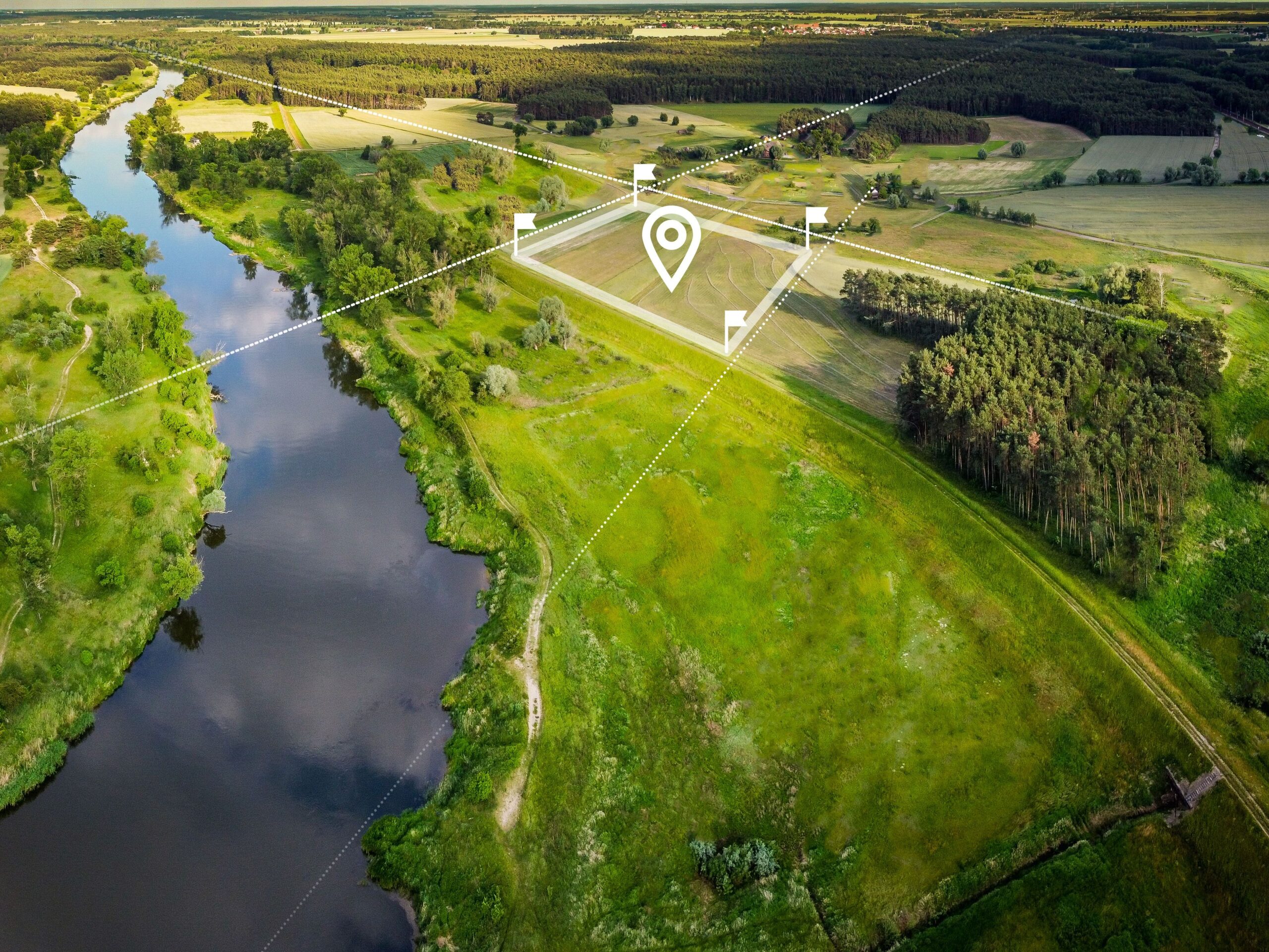
Advanced Drone Inspection
TerraOptics delivers precise aerial inspections for land development and infrastructure projects, providing accurate data for planning, monitoring, and compliance.
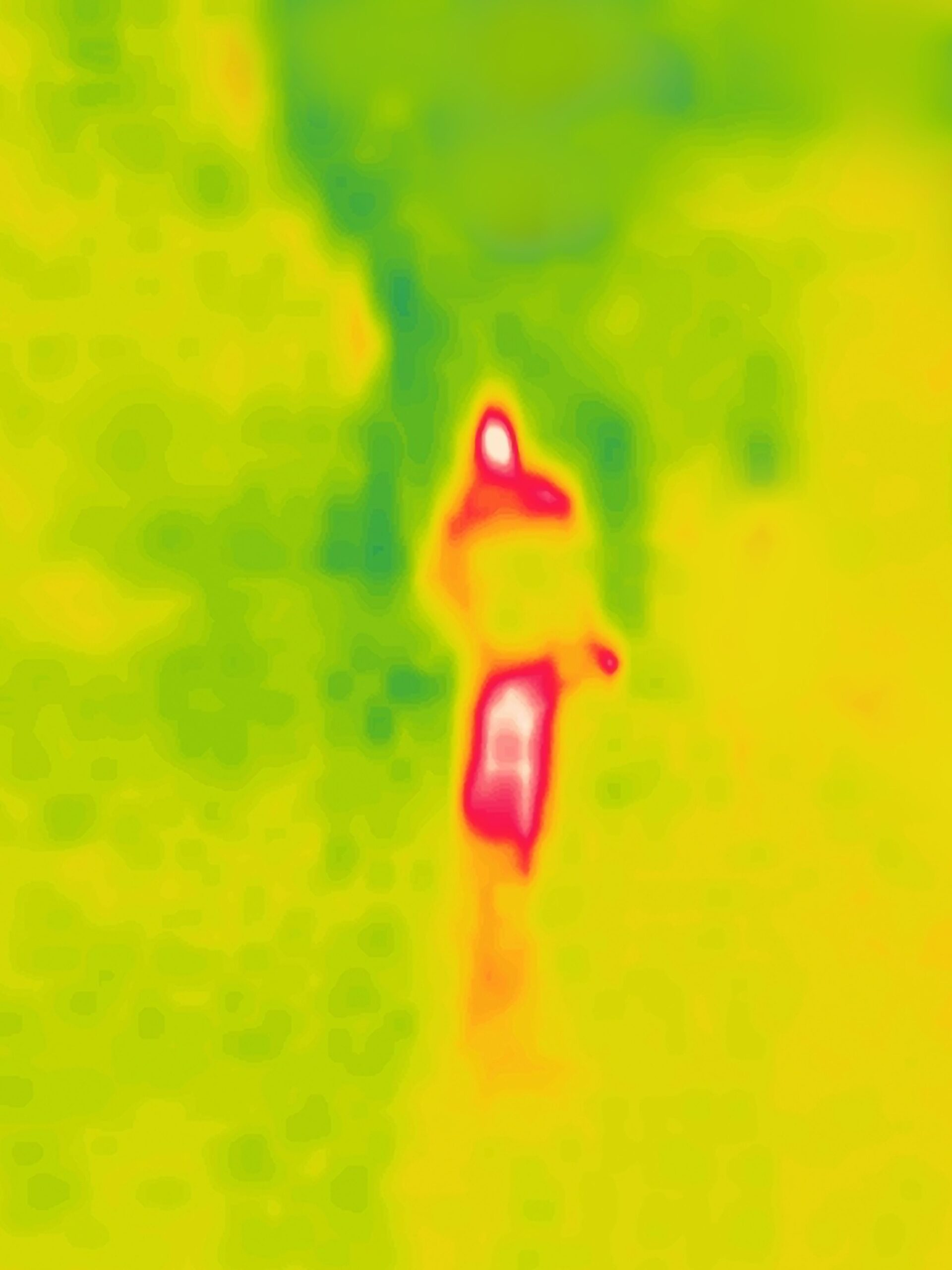
Search and Rescue Support
Our drones equipped with thermal imaging and advanced sensors aid in search and rescue missions, quickly locating individuals in challenging terrains and improving response times.
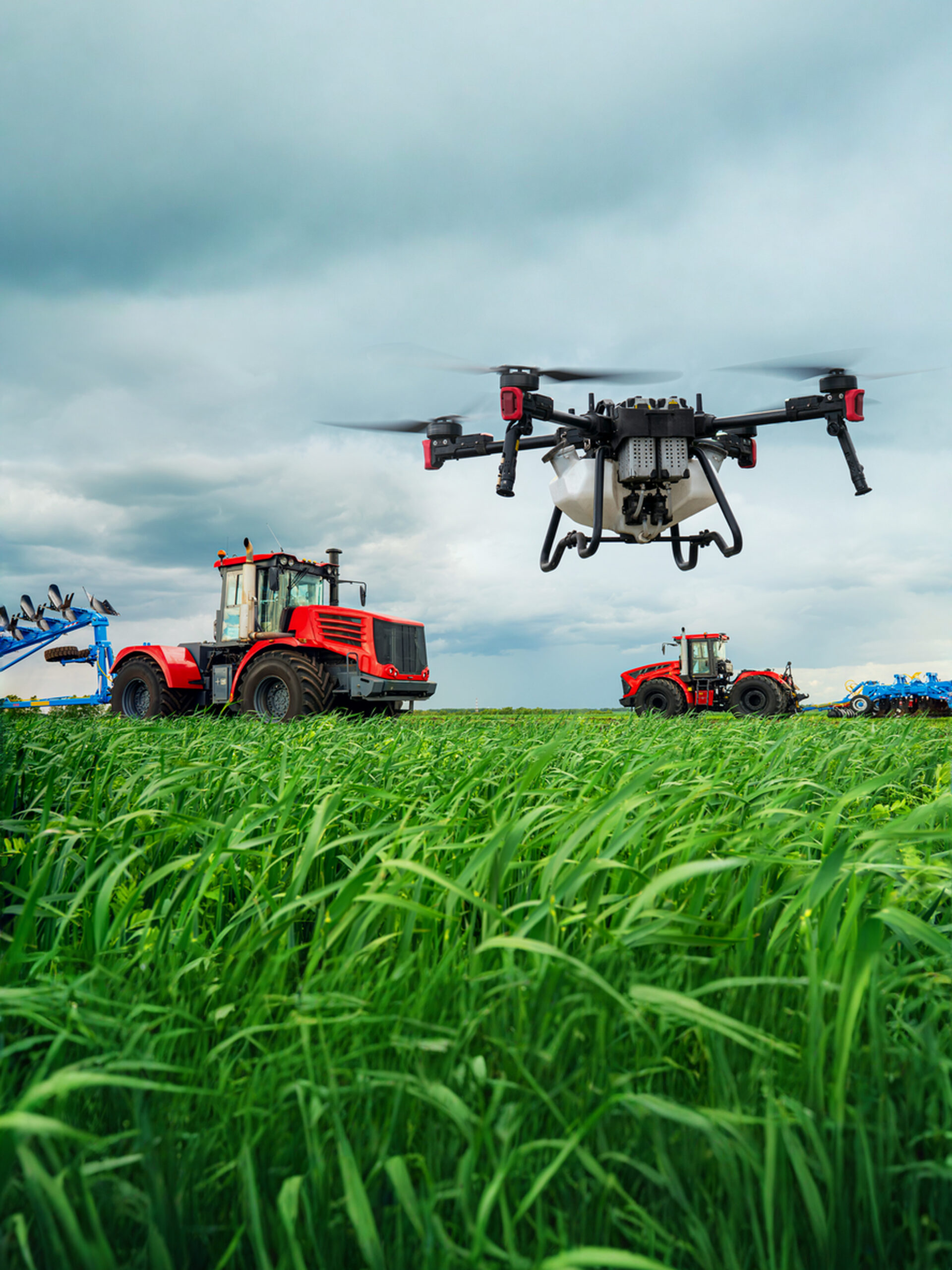
Agriculture & Vegetation
TerraOptics agriculture & vegetation services help growers apply Precision techniques for better crop and livestock management. We provide farm photography and video data, covering large land areas quickly to pinpoint where actions are needed. Our drones deliver real-time feedback on soil, plant, moisture, and topography to maximize yield, avoid waste, and increase the bottom line
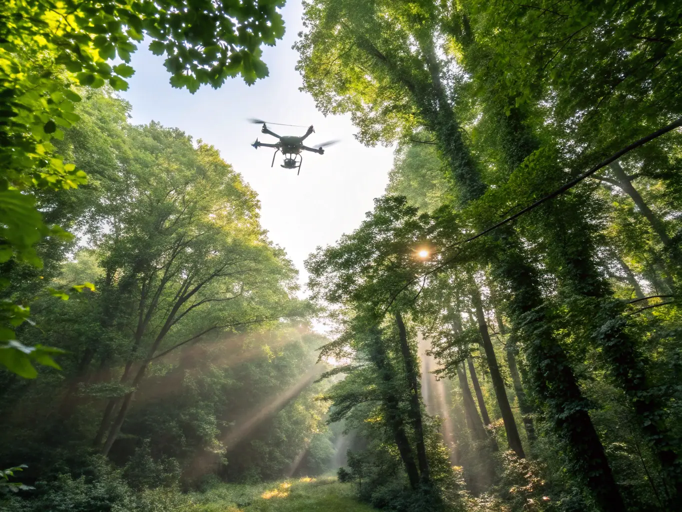
Precision Imaging Technology
Our drones utilize state-of-the-art imaging technology to capture detailed and accurate data. This allows us to provide high-resolution imagery and precise measurements for a variety of applications, ensuring the best possible outcomes.
Centimeter-Level GPS Accuracy
With centimeter-level GPS accuracy, our drones provide the most precise positioning available. This ensures that all data captured is accurately georeferenced, allowing for reliable analysis and informed decision-making for your projects.
LiDAR and 3D Modeling
Our LiDAR and 3D modeling services provide detailed and accurate representations of your project site. This technology allows us to capture data even in challenging environments, providing you with valuable insights for planning and management.